
THIS HIKE HAS BEEN POSTPONED
Due to COVID-19, we have made the tough decision to postpone this hike until conditions allow. However, the Cool Rock Canyon trail, and the larger encompassing Gunnison Gorge National Conservation Area, is truly an important landscape for the WSCC community to explore! If you are planning on traveling, please make sure to follow all state and federal guidelines, including staying at a legally-mandated safe distance of six feet or more from other parties, and limiting travel whenever possible.
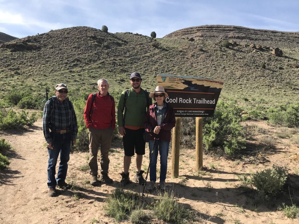
Cool Rock Canyon: Monday, April 13th
Geology Themed Hike
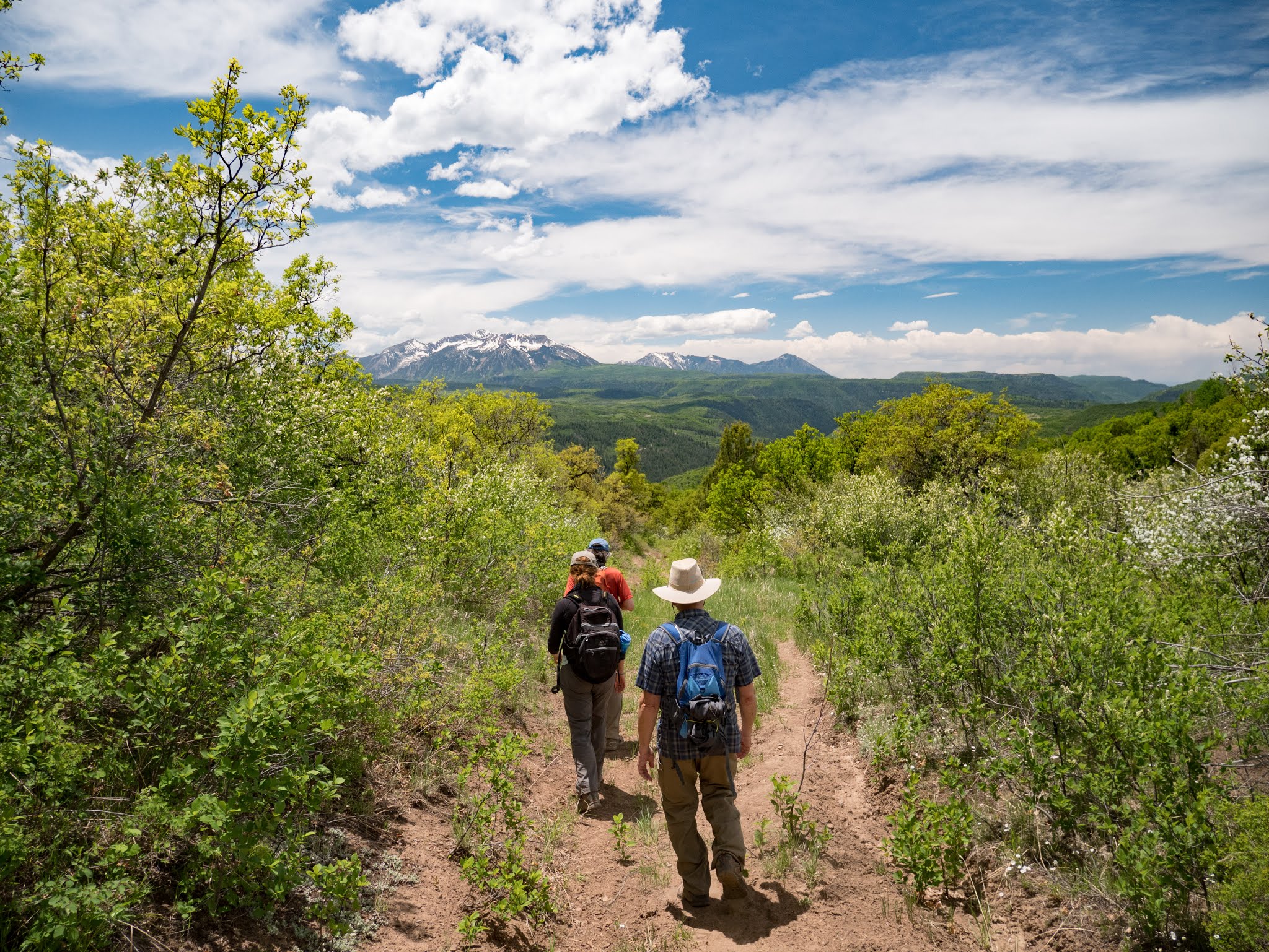
Description: The Cool Rock Canyon trail winds through a colorful sandstone canyon with interesting rock formations and fun places to explore. It is located on South River Road in the Gunnison Gorge NCA, just outside the designated Wilderness Area. The NCA was designated by Congress in 1999, where only hiking and horseback riding is permitted. The 62,844 acre NCA encompasses diverse landscaping and is recognized for its geologic, scenic, wilderness and recreational resources.
The theme for this outing is Geology, and also to enjoy the cool and unique formations in this canyon. It will lead by WSCC volunteer champions Betsy Johnson and Holly Bidle. Holly (former geologist) will walk us through rocks that were formed 150-200 million years ago – mostly sedimentary rocks of the Entrada and Morrison Formations. Every turn and bend made in the canyon will bring us to a totally different view and color of rocks – sometimes steep walls, large overhangs, and ledges, or evidences of rock falls from who knows how many years or centuries ago.
Trip Leader: Holly Bidle and Betsy Johnson
Where: Cool Rock Canyon, Gunnison Gorge National Conservation Area
Difficulty: This is a moderate hike. Starting elevation is 5100 feet and it is a 2-3 mile one way hike with ending elevation approximately 5600 feet. The canyon is rocky, with some boulder-hopping possible along the way.
When: Monday, April 13th. We will meet at WSCC office at 8:30. For those coming from Crawford, Hotchkiss, Cedaredge or Delta – we can plan to meet at the northeast parking lot in Austin at 9 am- at the corner of HWY 92 and Austin Rd. (northeast parking lot). Please make sure to specify in the RSVP form below.
What to bring: Plenty of water, sunscreen, extra layers, hiking pools, and snacks and lunch. You can expect to be back to Paonia by 3:00.
How to get to the trailhead: Drive west from Paonia, Colorado on Highway 92 and turn left on 2200 Road at Austin. Follow 2200 Road to the intersection and turn left on H75 Road. About 5.3 miles from the intersection of H75 Road and 2200 Road, follow H75 Road to where South River Road splits off on the right. South River Road is a dirt/gravel road and can be steep and rocky. High clearance vehicles are advised. It is not advised to travel down this road after a recent rain storm, as the dirt can make it quite slippery. It’s about a half hour drive from Paonia to Austin, and an additional 30 minute drive from Austin to Cool Rock Canyon trailhead.
RSVP FOR THIS HIKE HERE
Oops. When I reserved my place for cool rock canyon I received an auto reply for Thank you for signing up for the Spruce Beetle Epidemic and Aspen Decline Management Response field trip to Overland Reservoir and Hubbard Park.
We’ll see you at the US Forest Service Paonia Ranger District (403 Rio Grande Ave.) at 8:15 AM on August 23rd!