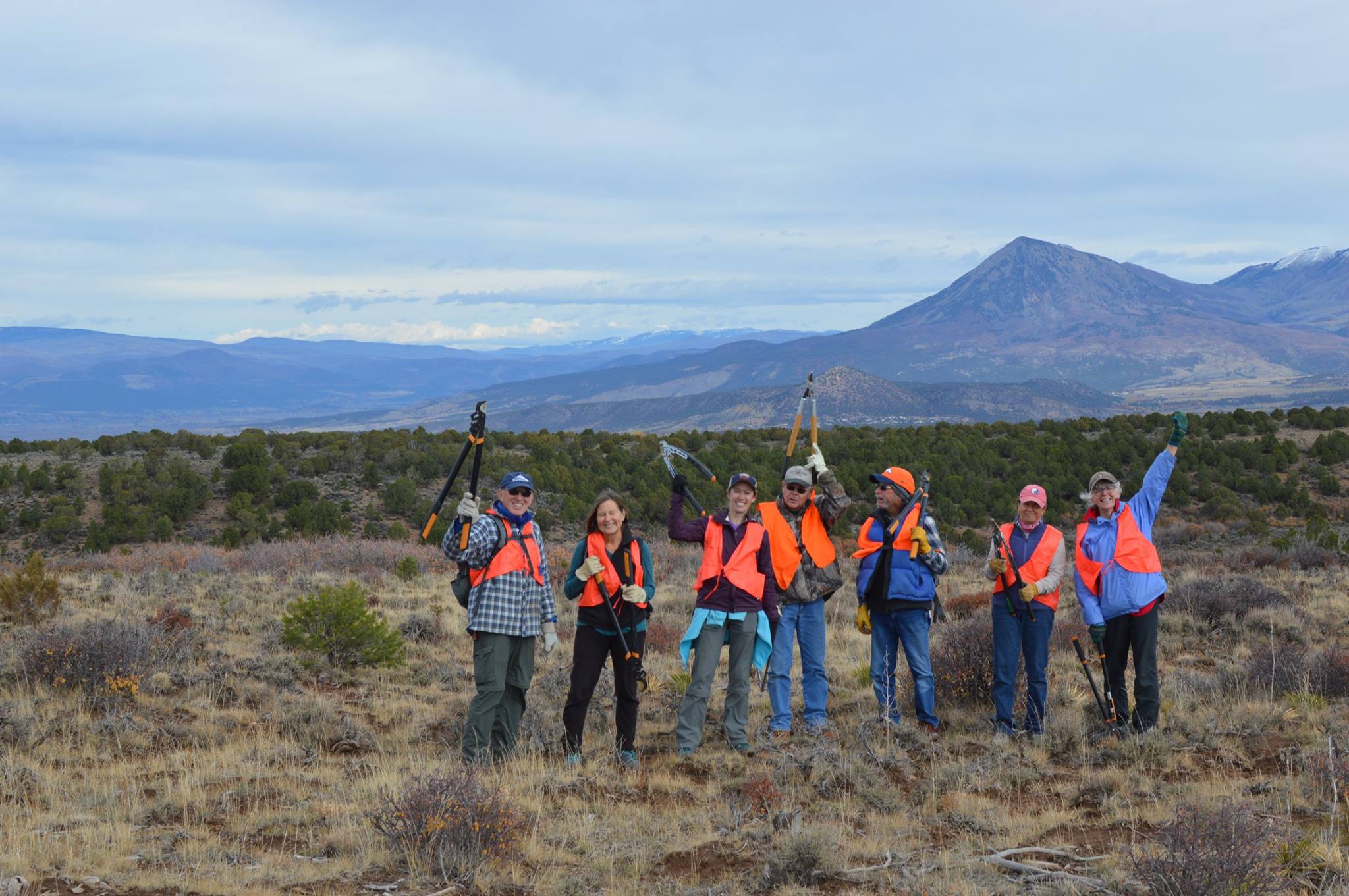
In 2019, the Bureau of Land Management (BLM) released a proposed Resource Management Plan (RMP) for 675,800 acres of its public land along the Lower Gunnison, Uncompahgre, and San Miguel watersheds and 971,220 acres of federal mineral estate. This Uncompahgre RMP will determine the management of BLM lands in this area, collectively known as the Uncompahgre Field Office (UFO), for decades to come.
The Western Slope Conservation Center has been working for the past ten years to support conservation in the RMP. Check out our work and some additional resources below.

North Fork Alternative Fact Sheets
Proposed RMP Resources
Maps
