
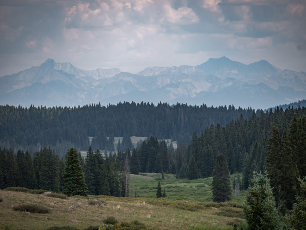
From red rock canyons to snow-capped mountain peaks, the public lands of the Western Slope of Colorado offer incredible natural beauty, critical wildlife habitat, and plentiful recreation opportunities. There is no shortage of places to explore or things to see. For the past several years, WSCC and our conservation partners have been collecting data in key places across the region to inform the two ongoing land planning process – the BLM Resource Management Plan and the GMUG National Forest Plan Revision. These processes will guide the management of our public lands for years to come, so its important to understand the plans and places involved.
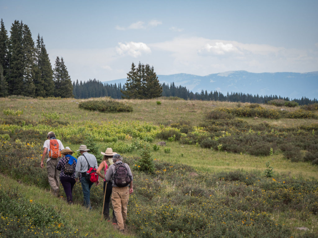
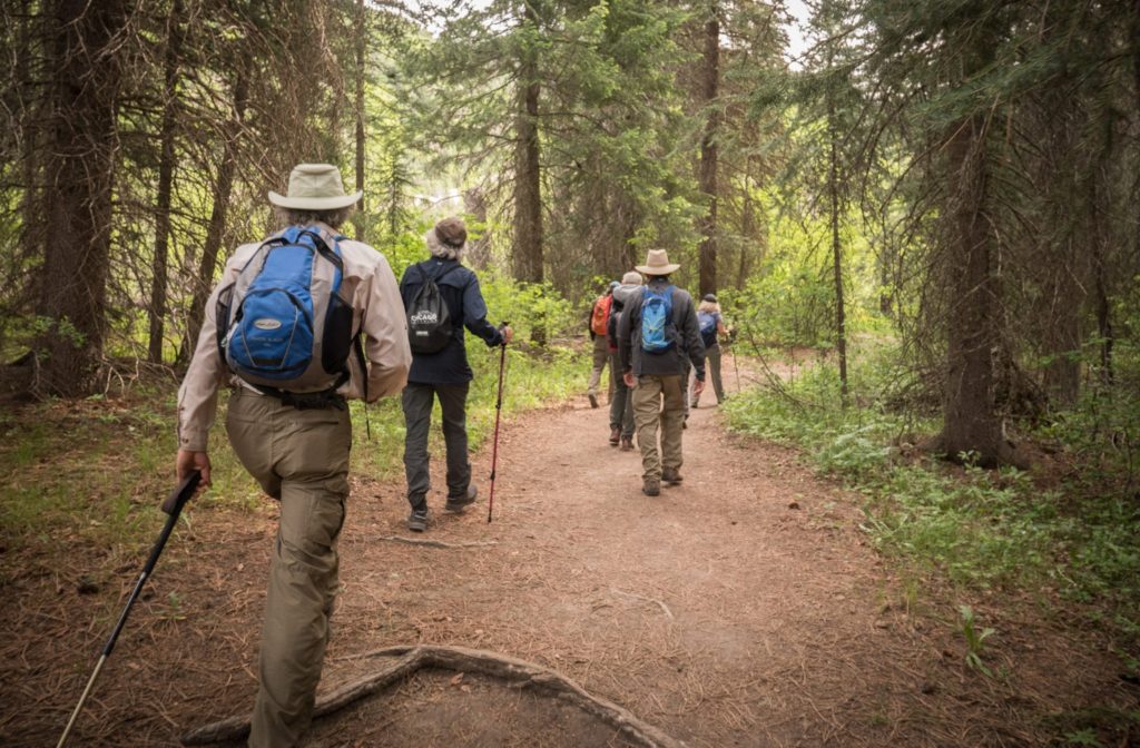
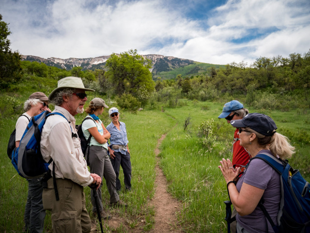
These past 6 months, Western Slope Conservation Center and our public lands volunteer/conservation hero Mike Burkley have successfully completed the first year of our brand new summer hiking series – Mike’s Hikes! These hikes visited the less-traveled parts of our National Forests and BLM lands, highlighting places of interest to the two ongoing land management planning processes.
See an overview of all the hikes below. Stay tuned for more opportunities to get out and about in the North Fork this coming Winter and next Spring!
We will arrange carpools for each hike, see below for details. Be sure to bring plenty of water, lunch, sun protection, walking stick or trekking poles (if desired), hiking boots, long pants, rain gear, if needed. While we do love our four-legged friends, please leave your dogs at home.
Questions? Email Mike!
Mike’s Hike #10 – North Vista Trail / Black Canyon of the Gunnison NP
This hike begins at the Visitor’s Center on the North Rim of the Black Canyon of the Gunnison National Park. The trail wraps around the rim of the canyon to Exclamation Point, a canyon overlook with fantastic views down the canyon (don’t get too close to the edge!) The trail then continues up another 2 miles to Green Mountain. At the top, you can find incredible 360 degree views of everything we love about this area: Grand Mesa, the West Elks/Raggeds, the Black Canyon, Uncompahgre Plateau, and the San Juan Mountains!
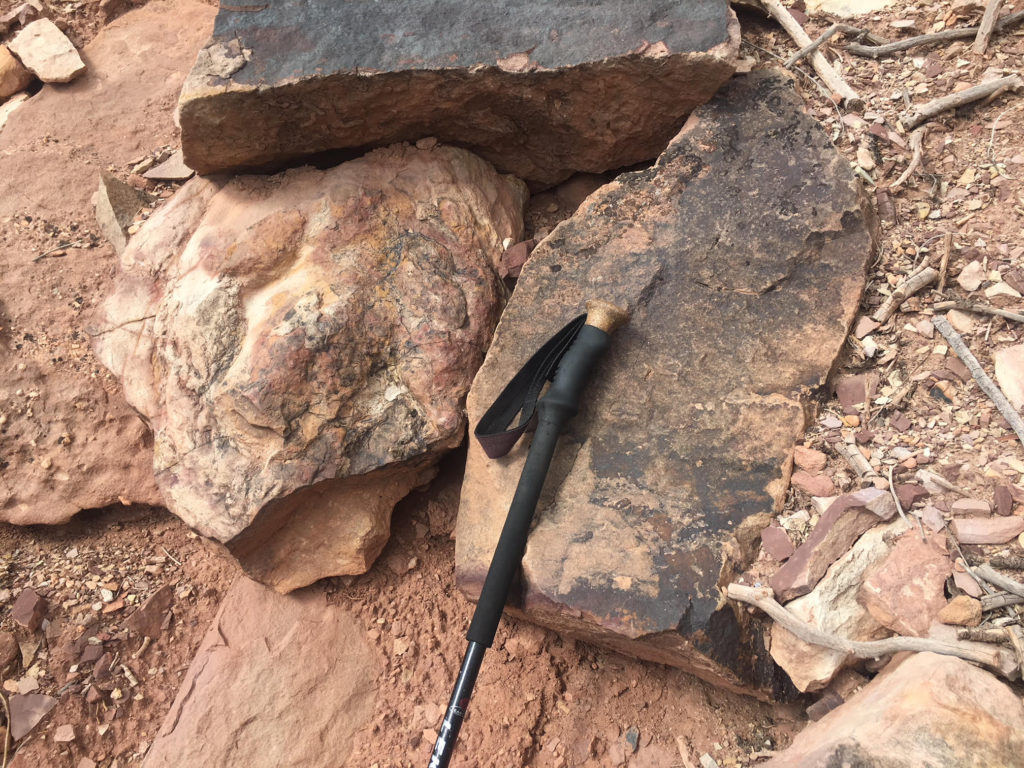
Mike’s Hike #9 – Roubideaux Canyon / Camel Back Wilderness Study Area
The Camel Back WSA is located 20 minutes Southwest of Delta. From there, you can make your way up either of two creeks/canyons: Roubideaux or Potter Creek. Up Roubideaux Canyon, you will find yourself traveling along an old Jeep Road, up about 3 miles to the rim. Along the way, you will pass through many spectacular layers of geologic history, and at the top you will be rewarded with views of the San Juans and Grand Mesa! Be sure to keep an eye out for dinosaur tracks, our group found a pristine iguanadon footprint while we were exploring!
Mike’s Hike #8 – Little Coal Creek Inter-Ocean-Pass Trail / Gunnison National Forest
This trail begins at the end of the Little Coal Creek Jeep Trail, outside of Crawford. To get to the end, a 4×4 vehicle with high clearance is necessary, and proves to be an exciting journey! The trail climbs up through stands of Aspen and conifer to Inter-Ocean-Pass, where there are beautiful views of Mt. Lamborn and the surrounding mountains. This trail is a portal to the West Elk Wilderness and is lightly used (especially in non-hunting season,) and is an excellent place for wildlife viewing or berry picking!
Mike’s Hike #7 – Clear Fork Trail / Gunnison National Forest
This trail is found up on McClure Pass, a little north of Bull Mountain. The trail is very remote, and has very light usage compared to trails on the nearby Kebler Pass. The trail begins along an Oil & Gas road (you will be able to see some drilling areas as you walk.) About a mile in, you arrive at a fork. One, Gooseberry Creek Trail will take you to a spectacular waterfall, if the creek is running. The other, the Clear Fork Trail takes you along the crystal clear Clear Fork Creek to its junction with Muddy Creek.
Mike’s Hike #6 – Buzzard Park Trail / Gunnison National Forest
If you want solitude, this is the trail for you! About a 1.5 hour drive up Steven’s Gulch Road from Paonia, just beyond the Mesa County Divide. The Buzzard Park Trail is a secret gem of the Gunnison National Forest. The trail meanders up through a spectacular stand of aspen, and passes through several large, lush meadows. About 3 miles in, you arrive at Buzzard Park, a large, flat area in which you can view the West Elk Mountains, even some of the larger Elk Mountains! This area boasts beautiful wildflowers and plenty of opportunity for wildlife viewing, as well.
Mike’s Hike #5 – Elk Park Trail / Gunnison National Forest
This trail begins at Overland Reservoir, an hour drive from Paonia up Steven’s Gulch Road. From there, the trail heads West along Crater Lake Trail for a little over a mile until the trial junction. The Elk Park Trail continues West, in the middle of a vast meadow valley with stands of spruce trees to the North and South. The open meadows provide great viewing opportunities of the West Elk and Ragged Mountains, as well as Grand Mesa. This is a very popular hunting spot, and is busy in the Fall hunting season.
Mike’s Hike #4 – Terror Trail West / Gunnison National Forest
The Terror Trail crosses Electric Mountain running East/West, and has two trailheads on either side. From the West, the trail begins at Hubbard Park off of Steven’s Gulch Road. The first 1/2 mile of trail provides great views of the West Elk Mountains, before heading into an aspen grove, prime elk and deer habitat. Close by is Hubbard Creek, which makes a nice rest or lunch stop. The trail eventually heads up to a ridge, where there are spectacular views of the Raggeds.
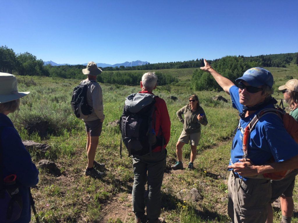
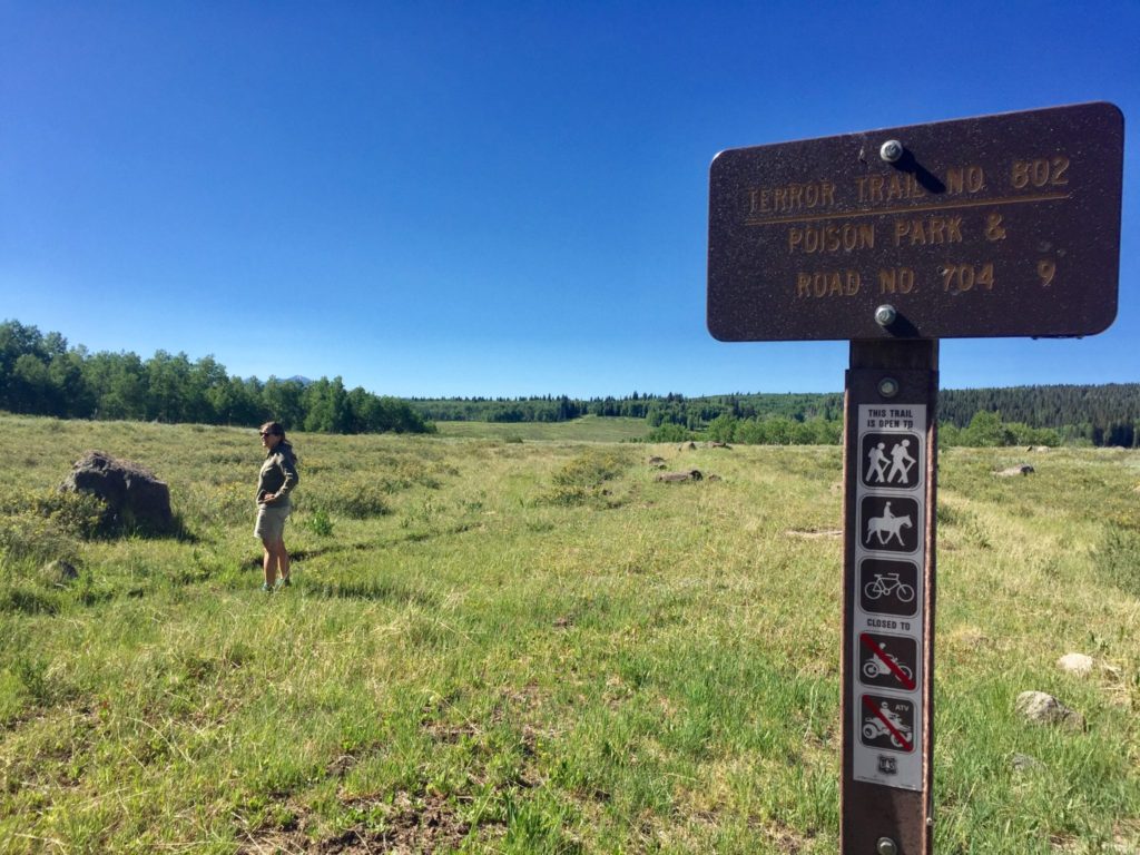
Mike’s Hike #3 – Terror Trail East / Gunnison National Forest
The Terror Trail crosses Electric Mountain running East/West, and has two trailheads on either side. To access the East trailhead, head onto FR 265, then south onto FR 704. From the East starting point, the trail immediately climbs about 300 feet, to views of the West Elk Mountains. Then the trail continues through aspen and spruce stands, with spectacular wildflowers and wildlife to view.
Mike’s Hike #2 – Munsey Ruby Stock Trail / Gunnison National Forest
The Munsey Ruby Stock trail begins at the Erickson Springs Trailhead at the base of Kebler Pass. The first 3/4 mile of the trail is along the Dark Canyon Trail, at which point it veers off to the West. Before ascending, the trail heads to a nice, serene spot along Cow Creek – perfect for a break or lunch. Then, the trail branches and begins a steep hike up to a ridge where there are spectacular views into the innards of the Raggeds Mountain Range. Continuing from here, the trail continues to climb before dropping down into a lush aspen stand, then further down along a ridge to meet up with the Dark Canyon Trail along Anthracite Creek. Be warned: beyond the initial ridge/lookout, the trail becomes difficult to follow. Bring a GPS if you are considering hiking the entire trail!

Mike’s Hike #1 – Adobe Badlands / Adobe Badlands Wilderness Study Area
This trail highlights a Wilderness Study Area of the BLM, the Adobe Badlands, located North of Delta. This trail is best hiked in Spring or Fall, whenever the weather is cooler. A true ‘desert landscape,’ this hike is quite different from all the others completed in this hiking series. Because of the infrequent visitation, this area is home to many unique species of plants and animals such as the threatened Colorado Hookless Cactus. A jaunt to the top of the mesas and hills within the Adobe Badlands provides great views of the surrounding mountains, mesas, and canyons as well.
Is this the last hike, Mike?
Yes, for this year. But come to the hike and/or the potluck to be part of the planning for next year’s series!