

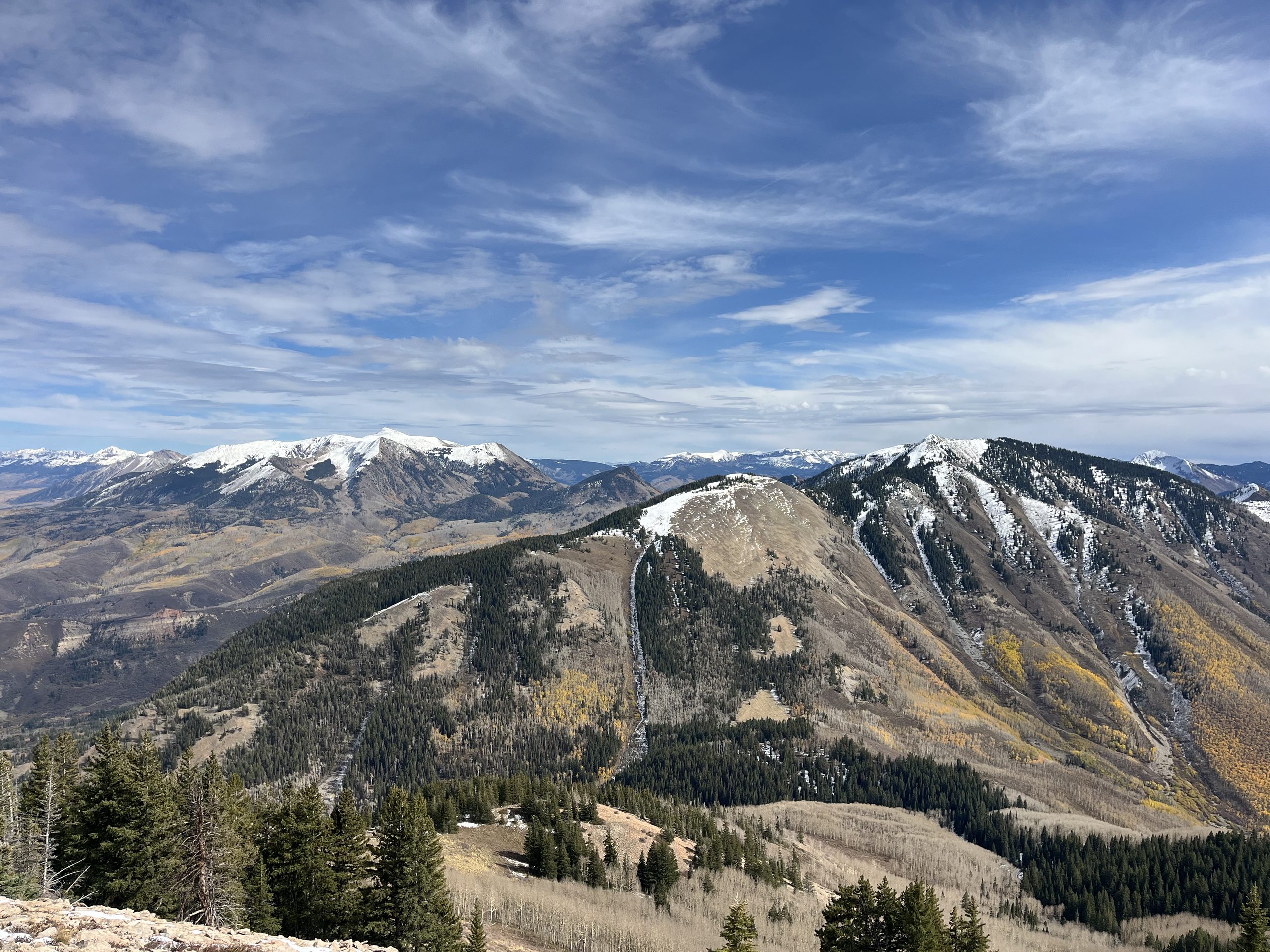
Towering over 11,400 feet, Mount Lamborn defines the North Fork Valley landscape and provides stunning views of the Gunnison Gorge, West Elk Mountains and Wilderness, San Juan Mountains, Grand Mesa, and everything in between. Standing as the tallest point in Delta County, the eroded igneous laccolith mountain is unique and dramatic in that it rises nearly 6,000 feet from the valley floor of the North Fork of the Gunnison River. While local lore has it that the mountain was named for a light-colored rockslide on the eastern face that resembles a lamb, the mountain’s namesake is Dr. Robert Lamborn, a director of the Denver and Rio Grande Railroad who traveled through the area in the late nineteenth century.
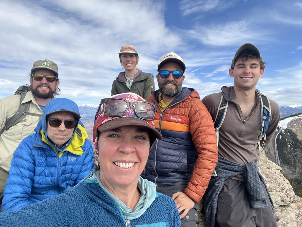
On Sunday, October 18, a group of nine hikers, including staff from WSCC and the USFS – Paonia Ranger District, organized for a Mike’s Hike outing at Mt. Lamborn. Located approximately five miles southeast of the town of Paonia, the group started at Bell Creek Trailhead, accessed by a rutted, four-wheel drive road that travels three miles through McCluskie State Wildlife Area and a national forest inholding owned by the Town of Paonia where several of the town’s municipal water springs are located.
The hike traversed two newly upgraded trails which led to the summit. Lamborn Trail #894 starts in low-elevation, dense juniper and gambel oak forest and gives way to mature aspen and pine woods. The well-worn footpath weaves back and forth upward across Bell Creek. It intersects with Inter-Ocean Pass Trail at what is known by locals as the “saddle,” the semi-open, flat area nestled between Landsend and Lamborn peaks. From here, Mt. Lamborn Trail #895 steeply ascends, climbing through subalpine spruce and fir forests before arriving at a bench with unobstructed, panoramic views stretching to the Maroon Bells. Switchbacks lead above treeline and culminate in a short scramble to the summit, a rocky point where hikers can record their names in the metal canister encapsulated logbook. The empowering, five-mile climb totals more than 4,000 feet in elevation gain and countless humbling steps.
During the summers of 2025 and 2026, a major trail improvement project was undertaken to improve access, safety, and sustainability on Mt. Lamborn. Through Bell Creek Canyon, the Colorado Mountain Club’s stewardship team made trail improvements, clearing overgrown brush, rebuilding tread, and installing drainage features on two miles of trail. A second team, led by Sustainable Trail Design, completed a full reroute of the Mt. Lamborn Trail, performing grading to shape, smooth, and slope the trail’s surface while incorporating switchbacks to make it more accessible. Helicopters carried in supplies, while teams of five crew members hiked up to base camp to work seven-day shifts before heading down for the next crew to take over.
Until now, hikers wishing to bag this peak from the south side were forced to scramble, nearly on all fours, across this exposed alpine landscape to the summit. Three hundred thousand dollars of federal funds were invested in this project, dubbed “deferred maintenance and repairs” using fees collected from oil and gas development, as required by the Great American Outdoors Act (GAOA).
Passed in 2020, the GAOA provides funding to improve infrastructure and expand recreation opportunities in national parks and other public lands through the National Parks and Public Lands Legacy Restoration Fund (LRF). The fund is financed by fifty percent of all federal energy development revenues—oil, gas, coal, and renewable—up to $1.9 billion per fiscal year for five years, starting in 2021. Funding is divided among five bureaus and agencies, with the USFS receiving 15 percent.
The selection of the Lamborn trails as candidates for this funding was due to “boots on the ground” recommendations from local USFS personnel, addressing a critical need on an iconic recreation site. The Paonia Ranger District is one of five ranger districts within the Grand Mesa Uncompahgre Gunnison (GMUG) National Forest, employs 13 staff members, and manages approximately 478,000 of the 3.2 million GMUG National Forest acres. The hike presented the special opportunity to learn from USFS staff in an informal, backcountry setting about the agency, funding sources, and its role in keeping our national forests safe, accessible, and enjoyable for today’s users and those of generations to come.
––––––––––––––––––––––––
As happens on wild, remote landscapes, the hike provided time to connect with self and one another, to experience first-hand the fragility and resilience of the forest, to intimately learn the nuances of the ecosystem, and to reaffirm how spectacular our public lands truly are.
To support WSCC’s work protecting, enhancing, and advocating for our public lands, click the button below.
Leave a Reply